Description
GUNBARREL HIGHWAY WESTPRINT


$12.95
The section of the Gunbarrrel Highway explored and surveyed by Len Beadell in 1958, is shown on this map complete with GPS readings. It links with the Canning Stock Route and Tanami Track, a circular route popular with many 4WD travellers.
2 in stock

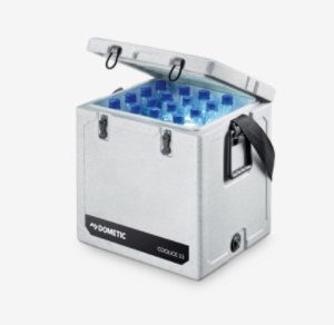 DOMETIC 33L ICE BOX $210.00
 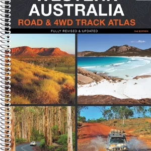 WA ROAD & 4WD TRACK ATLAS $49.95
 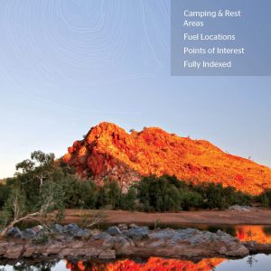 WA HANDY MAP $10.95
 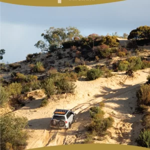 VICTORIAS DESERTS 4WD MAP NLA $12.95
  VICTORIA HANDY MAP $10.95
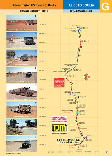


Reviews
There are no reviews yet.
Customers review
Rate it!
Only logged in customers who have purchased this product may leave a review.
Write A Review