Description
MID NORTH SA CARTOGRAPH


$13.50
A touring map of the Mid North region of South Australia (SA) covering the region from Kapunda in the south to Quorn in the north. The northern Mount Lofty Ranges and Southern Flinders Ranges. Full country road detail with long distance Heysen and Mawson trails, conservation and national parks. On the reverse a 1:100,000 scale map of the Clare Valley detailing wineries, Reisling Trail and points of interest.
Also included are 1:50,000 scale topographic maps of Mount Remarkable National Park and Bundaleer and Wirrabara Forests with 10 metre contours, UTM grid for GPS use, walking trails, and campgrounds.
1 in stock

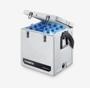 DOMETIC 33L ICE BOX $210.00
 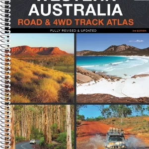 WA ROAD & 4WD TRACK ATLAS $49.95
  WA HANDY MAP $10.95
  VICTORIAS DESERTS 4WD MAP NLA $12.95
  VICTORIA HANDY MAP $10.95
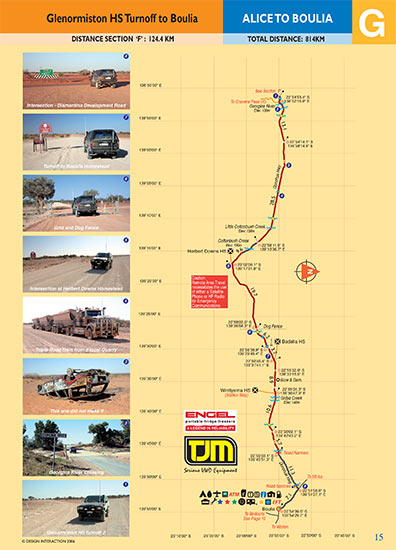


Reviews
There are no reviews yet.
Customers review
Rate it!
Only logged in customers who have purchased this product may leave a review.
Write A Review